Geolocate

Slater topographic map

Click on the map to display elevation.

About this map

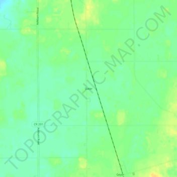
Name: Slater topographic map, elevation, terrain.

Location: Slater, Auglaize County, Ohio, 45884, United States (40.50783 -84.09328 40.54783 -84.05328)

Average elevation: 311 m

Minimum elevation: 300 m

Maximum elevation: 324 m

Other topographic maps

Click on a map to view its topography, its elevation and its terrain.

Uniopolis

United States > Ohio > Auglaize County

Average elevation: 286 m

Buckland

United States > Ohio > Auglaize County

Average elevation: 259 m

Minster

United States > Ohio > Auglaize County

Average elevation: 295 m

New Knoxville

United States > Ohio > Auglaize County

Average elevation: 276 m

Waynesfield

United States > Ohio > Auglaize County

Average elevation: 324 m

Saint Marys

United States > Ohio > Auglaize County

Average elevation: 267 m

Cridersville

United States > Ohio > Auglaize County

Average elevation: 272 m

Gear up for your next adventure:

🧣Evaporative Cooling Towel - Beat the heat during intense summer climbs
🥾Trail Hiking Boots - Supportive boots for rough trails
🧦Merino Wool Socks - Moisture-wicking comfort for long-distance hiking
🛌Insulated Sleeping Pad - Critical thermal barrier between you and the cold ground
🌬️Windproof Camp Stove - Efficient cooking even on exposed mountain peaks

As an Amazon Associate, this site earns from qualifying purchases at no extra cost to you.