Geolocate

Mount Lookout topographic map

Click on the map to display elevation.

About this map

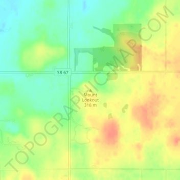
Name: Mount Lookout topographic map, elevation, terrain.

Location: Mount Lookout, Auglaize County, Ohio, United States (40.59778 -84.02805 40.59788 -84.02795)

Average elevation: 316 m

Minimum elevation: 292 m

Maximum elevation: 338 m

Other topographic maps

Click on a map to view its topography, its elevation and its terrain.

Uniopolis

United States > Ohio > Auglaize County

Average elevation: 286 m

Buckland

United States > Ohio > Auglaize County

Average elevation: 259 m

Minster

United States > Ohio > Auglaize County

Average elevation: 295 m

New Knoxville

United States > Ohio > Auglaize County

Average elevation: 276 m

Waynesfield

United States > Ohio > Auglaize County

Average elevation: 324 m

Saint Marys

United States > Ohio > Auglaize County

Average elevation: 267 m

Cridersville

United States > Ohio > Auglaize County

Average elevation: 272 m

Gear up for your next adventure:

🥾Hiking Shoes - Durable and comfortable shoes for trail hiking
💧Filtered Water Bottle - Safe drinking water on the go
🥾Trail Hiking Shoes - Durable shoes designed for rugged trails
🔋Solar Power Bank - Keep your GPS and devices charged during long outdoor trips
💧Hydration Bladder - Hands-free hydration solution for long treks

As an Amazon Associate, this site earns from qualifying purchases at no extra cost to you.