
Albany Corner topographic map
Click on the map to display elevation.
About this map
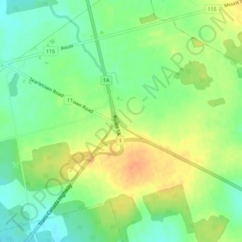
Name: Albany Corner topographic map, elevation, terrain.
Location: Albany Corner, Prince County, Prince Edward Island, Canada (46.26973 -63.63505 46.28973 -63.61505)
Average elevation: 48 m
Minimum elevation: 29 m
Maximum elevation: 69 m
Prince County trails, hiking, mountain biking, running and outdoor activities
Other topographic maps
Click on a map to view its topography, its elevation and its terrain.
Rural Municipality of Tyne Valley
Canada > Prince Edward Island > Prince County
Average elevation: 15 m
Christopher Cross
Canada > Prince Edward Island > Prince County > Christopher Cross
Average elevation: 14 m
Cumberland Cove
Canada > Prince Edward Island > Prince County > Augustine Cove > Tryon
Average elevation: 3 m
Rural Municipality of Abram-Village
Canada > Prince Edward Island > Prince County
Average elevation: 20 m