
Pleasant View topographic map
Click on the map to display elevation.
About this map
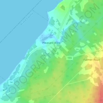
Name: Pleasant View topographic map, elevation, terrain.
Location: Pleasant View, Prince County, Prince Edward Island, Canada (46.89706 -64.23937 46.93560 -64.17019)
Average elevation: 14 m
Minimum elevation: -4 m
Maximum elevation: 56 m
Prince County trails, hiking, mountain biking, running and outdoor activities
Other topographic maps
Click on a map to view its topography, its elevation and its terrain.