Thank you for supporting this site ❤️
Make a donation
Make a donation
Gear up for your next adventure:
As an Amazon Associate, this site earns from qualifying purchases at no extra cost to you.
Saint Timothee topographic map
Click on the map to display elevation.
Thank you for supporting this site ❤️
Make a donation
Make a donation
Gear up for your next adventure:
As an Amazon Associate, this site earns from qualifying purchases at no extra cost to you.
About this map
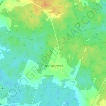
Name: Saint Timothee topographic map, elevation, terrain.
Location: Saint Timothee, Prince County, Prince Edward Island, Canada (46.40136 -64.08606 46.44841 -64.03960)
Average elevation: 12 m
Minimum elevation: 1 m
Maximum elevation: 33 m
Prince County trails, hiking, mountain biking, running and outdoor activities
Thank you for supporting this site ❤️
Make a donation
Make a donation
Gear up for your next adventure:
As an Amazon Associate, this site earns from qualifying purchases at no extra cost to you.
