Geolocate

Albany topographic map

Click on the map to display elevation.

About this map

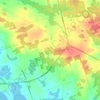
Name: Albany topographic map, elevation, terrain.

Location: Albany, Prince County, Prince Edward Island, Canada (46.25216 -63.67807 46.29923 -63.58171)

Average elevation: 32 m

Minimum elevation: -1 m

Maximum elevation: 72 m

Prince County trails, hiking, mountain biking, running and outdoor activities

Other topographic maps

Click on a map to view its topography, its elevation and its terrain.

Gear up for your next adventure:

🧦Hiking Liner Socks - Thin base layer to prevent friction and blisters
🎒Hiking Daypack - Lightweight and durable backpacks for day trips and excursions
🧣Evaporative Cooling Towel - Beat the heat during intense summer climbs
Tent Footprint - Protect tent floor and increase durability
🦯Trekking Poles - Reduced impact on joints for steep topographic climbs

As an Amazon Associate, this site earns from qualifying purchases at no extra cost to you.