
Williams topographic map
Click on the map to display elevation.
About this map
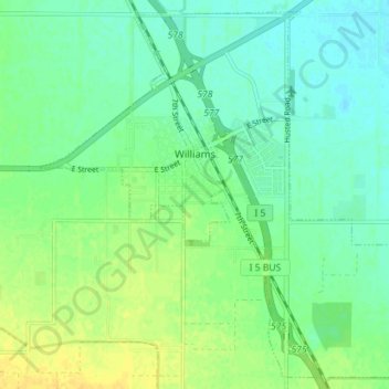
Name: Williams topographic map, elevation, terrain.
Location: Williams, Colusa County, California, 95987, United States (39.12295 -122.17770 39.17470 -122.10683)
Average elevation: 26 m
Minimum elevation: 17 m
Maximum elevation: 39 m
Other topographic maps
Click on a map to view its topography, its elevation and its terrain.
Maxwell
United States > California > Colusa County
Maxwell (formerly, Occident) is a census-designated place and farm community in Colusa County, California. It lies at an elevation of 92 feet (28 m). Located off Interstate 5, it is home to Maxwell High School. The main crop grown is rice, though a variety of others such as grapes, almonds, olives, squash, and…
Average elevation: 27 m
Sites
United States > California > Colusa County
Sites is an unincorporated community in Colusa County, California, United States. It lies at an elevation of 299 feet (91 m). Its ZIP code is 95979 and its area code is 530.
Average elevation: 131 m
Grimes
United States > California > Colusa County
Grimes (formerly Grimes Landing) is a census-designated place in Colusa County, California on the Southern Pacific Railroad. It lies at an elevation of 46 feet (14 m). The two main roads that run through it are State Route 45 and Grimes-Arbuckle Road. Its ZIP code is 95950, and its area code is 530. Grimes's…
Average elevation: 14 m
Genevra
United States > California > Colusa County
Genevra (formerly, Berlin and Genevra Station) is an unincorporated community in Colusa County, California. It lies at an elevation of 98 feet (30 m). The place was named Berlin in the 1870s by officials of the Southern Pacific Railroad on whose tracks it was established. The post office was established in…
Average elevation: 29 m