
Maxwell topographic map
Click on the map to display elevation.
Maxwell
Maxwell (formerly, Occident) is a census-designated place and farm community in Colusa County, California. It lies at an elevation of 92 feet (28 m). Located off Interstate 5, it is home to Maxwell High School. The main crop grown is rice, though a variety of others such as grapes, almonds, olives, squash, and sunflowers are grown as well. Its ZIP code is 95955 and its area code is 530. Maxwell's population was 1,103 at the 2010 census.
About this map
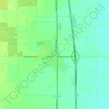
Name: Maxwell topographic map, elevation, terrain.
Location: Maxwell, Colusa County, California, 95955, United States (39.25700 -122.21241 39.29700 -122.17241)
Average elevation: 27 m
Minimum elevation: 19 m
Maximum elevation: 36 m
Other topographic maps
Click on a map to view its topography, its elevation and its terrain.