Geolocate

Arbuckle topographic map

Click on the map to display elevation.

About this map

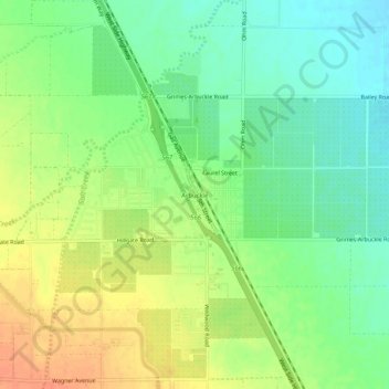
Name: Arbuckle topographic map, elevation, terrain.

Location: Arbuckle, Colusa County, California, 95912, United States (38.99740 -122.07775 39.03740 -122.03775)

Average elevation: 40 m

Minimum elevation: 20 m

Maximum elevation: 63 m

Other topographic maps

Click on a map to view its topography, its elevation and its terrain.

Williams

United States > California > Colusa County

Average elevation: 26 m

Gear up for your next adventure:

🧢Hiking Sun Hat - Wide-brimmed protection for exposed mountain ridges
🧰Survival Kit - Essential gear for emergencies in the wilderness
Camping Coffee Maker - Brew fresh coffee anywhere on the topographic map
🎒Backpack Rain Cover - External shield to keep your entire pack dry
🧢Beanie Hat - Keep your head warm in cold weather

As an Amazon Associate, this site earns from qualifying purchases at no extra cost to you.