
Genevra topographic map
Click on the map to display elevation.
Genevra
Genevra (formerly, Berlin and Genevra Station) is an unincorporated community in Colusa County, California. It lies at an elevation of 98 feet (30 m). The place was named Berlin in the 1870s by officials of the Southern Pacific Railroad on whose tracks it was established. The post office was established in 1876, and renamed from Berlin to Genevra during World War I; the post office closed in 1934.
About this map
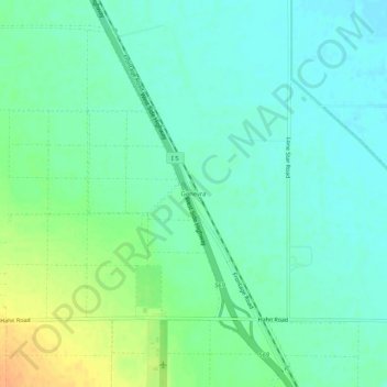
Name: Genevra topographic map, elevation, terrain.
Location: Genevra, Colusa County, California, United States (39.04989 -122.11164 39.08989 -122.07164)
Average elevation: 29 m
Minimum elevation: 18 m
Maximum elevation: 52 m
Other topographic maps
Click on a map to view its topography, its elevation and its terrain.