Geolocate

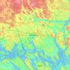
Ista topographic map

Click on the map to display elevation.

About this map

Name: Ista topographic map, elevation, terrain.

Location: Ista, Knivsta kommun, Uppsala County, 193 41, Sweden (59.66500 17.72950 59.70500 17.76950)

Average elevation: 12 m

Minimum elevation: -3 m

Maximum elevation: 41 m

Other topographic maps

Click on a map to view its topography, its elevation and its terrain.
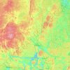
Knivsta kommun

Sweden > Uppsala County

Average elevation: 25 m

Uppsala kommun

Sweden > Uppsala County

Average elevation: 36 m

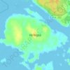
Hargshamn

Sweden > Uppsala County

Average elevation: 5 m

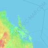
Östhammars kommun

Sweden > Uppsala County

Average elevation: 10 m

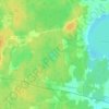
Hanelundssjön

Sweden > Uppsala County > Risbergsbo

Average elevation: 68 m

Enköpings kommun

Sweden > Uppsala County

Average elevation: 24 m

Älvkarleby kommun

Sweden > Uppsala County

Average elevation: 20 m

Heby kommun

Sweden > Uppsala County

Average elevation: 61 m

Gear up for your next adventure:

🥘Camping Cookware Set - Compact nesting pots and pans for trail cooking
🧤Thermal Hiking Gloves - Grip-enhanced gloves for cold-weather altitude trekking
🎒Backpack Rain Cover - External shield to keep your entire pack dry
🧥Thermal Layer - Insulating layer for cold outdoor conditions
🥾Waterproof Hiking Shoes - Durable shoes for wet and rugged trails

As an Amazon Associate, this site earns from qualifying purchases at no extra cost to you.