Geolocate

Stennäs topographic map

Click on the map to display elevation.

About this map
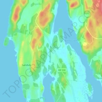
Name: Stennäs topographic map, elevation, terrain.

Location: Stennäs, Sandvik, Nynäshamns kommun, Stockholm County, Sweden (58.90667 17.74917 58.94667 17.78917)

Average elevation: 15 m

Minimum elevation: 0 m

Maximum elevation: 63 m

Gear up for your next adventure:

👟Leg Gaiters - Keep debris, mud, and snow out of your boots
🛌Insulated Sleeping Pad - Critical thermal barrier between you and the cold ground
🔭Compact Binoculars - Lightweight optics for scouting trails and wildlife
🥾Trekking Poles - Adjustable trekking poles to reduce knee stress and improve stability
⛺Camping Groundsheet - Protect your tent from moisture and dirt

As an Amazon Associate, this site earns from qualifying purchases at no extra cost to you.