South Jakarta topographic map
Click on the map to display elevation.
About this map

Name: South Jakarta topographic map, elevation, terrain.
Average elevation: 37 m
Minimum elevation: 5 m
Maximum elevation: 84 m
Other topographic maps
Click on a map to view its topography, its elevation and its terrain.




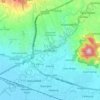




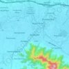






Banjir
Indonesia > West Nusa Tenggara > Lombok Tengah > Batas Desa Kopang Rembiga > Kopang Rembiga > Batas Dusun Ngork
Average elevation: 353 m


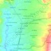
Pondok Pesantren Darul Huda Srigading
Indonesia > East Java > Mojokerto > Srigading
Average elevation: 232 m







Bekasi
The City of Bekasi is a part of the Bekasi river basin, located in the downstream area of the basin with slopes ranging from 0 to 2% and elevations between 11 meters to 81 meters above sea level. The city of Bekasi is part of the Bekasi river basin and is located in the downstream area of the basin, with a…
Average elevation: 23 m


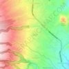
Mount Agung
Australia's Bureau of Meteorology reported on 27 November that ash from the eruption had been observed at an altitude of 9,144 m. By the beginning of December, the eruption reduced to minor emissions of steam and smoke. On 12 December, a picture of the crater was taken showing a steadily growing lava dome…
Average elevation: 2,534 m