Geolocate

Kayu Ara topographic map

Click on the map to display elevation.

About this map
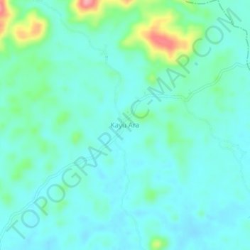
Name: Kayu Ara topographic map, elevation, terrain.

Location: Kayu Ara, Menyuke, Landak, West Kalimantan, Indonesia (0.62344 109.65532 0.66344 109.69532)

Average elevation: 72 m

Minimum elevation: 49 m

Maximum elevation: 167 m

Other topographic maps

Click on a map to view its topography, its elevation and its terrain.

Meranti

Indonesia > West Kalimantan > Landak

Average elevation: 104 m

Gear up for your next adventure:

🔦LED Headlamp - Hands-free lighting for early morning starts or late finishes
🧼Travel Hand Sanitizer - Keep hands clean when water is scarce
🧦Crew Hiking Socks - Comfortable socks for long-distance hikes
🥾Hiking Gaiters - Protect legs and shoes from mud, snow, and debris
🧤Rechargeable Heated Gloves - Extreme warmth for Canadian winter expeditions

As an Amazon Associate, this site earns from qualifying purchases at no extra cost to you.