Geolocate

Mancak topographic map

Click on the map to display elevation.

About this map
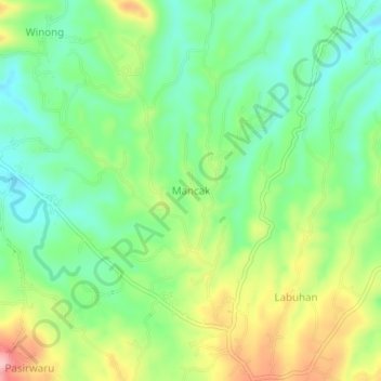
Name: Mancak topographic map, elevation, terrain.

Location: Mancak, Kab Serang, Banten, 42114, Indonesia (-6.11186 105.97237 -6.07186 106.01237)

Average elevation: 136 m

Minimum elevation: 63 m

Maximum elevation: 316 m

Gear up for your next adventure:

🧥Packable Rain Jacket - Breathable waterproof layer for unpredictable weather
🥾Mountain Trail Shoes - High-traction shoes for mountain trails
🛁Quick-Dry Microfiber Towel - Space-saving towel that dries rapidly on the move
🥾Approach Boots - Comfortable boots for hiking and climbing approaches
🏃Hydration Running Vest - Carry water and maps close to your body for speed

As an Amazon Associate, this site earns from qualifying purchases at no extra cost to you.