Geolocate

Serang topographic map

Click on the map to display elevation.

About this map
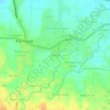
Name: Serang topographic map, elevation, terrain.

Location: Serang, Cirebon, West Java, 45163, Indonesia (-6.73296 108.42432 -6.69296 108.46432)

Average elevation: 26 m

Minimum elevation: 13 m

Maximum elevation: 44 m

Gear up for your next adventure:

🎒Fully Waterproof Backpack - Total protection for photography gear and electronics
🧴Insect Repellent - Protect yourself from bugs during outdoor adventures
🥤Collapsible Travel Cup - Saves space and weight in your mess kit
💡Compact LED Flashlight - Powerful and portable flashlight for outdoor use
🧰Multitool Knife - Compact and versatile tool for outdoor use

As an Amazon Associate, this site earns from qualifying purchases at no extra cost to you.