
Ruinerwold topographic map
Interactive map
Click on the map to display elevation.
About this map
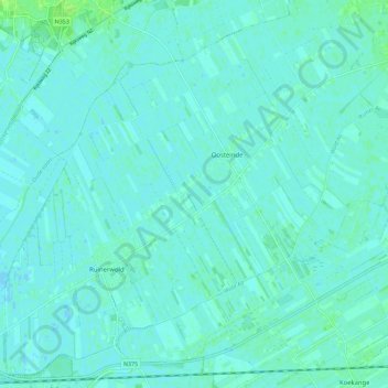
Name: Ruinerwold topographic map, elevation, terrain.
Location: Ruinerwold, De Wolden, Drenthe, Nederland (52.70292 6.21632 52.76691 6.32897)
Average elevation: 2 m
Minimum elevation: -2 m
Maximum elevation: 12 m
Other topographic maps
Click on a map to view its topography, its elevation and its terrain.
Oud Annerveen
Oud Annerveen, Aa en Hunze, Drenthe, Nederland
Average elevation: 2 m
Oosterbroek
Oosterbroek, Eelde, Tynaarlo, Drenthe, Nederland, 9761 TG, Nederland
Average elevation: 3 m
Oosterhesselen
Nederland > Drenthe > Coevorden
Oosterhesselen, Coevorden, Drenthe, Nederland
Average elevation: 15 m
Uffelte
Nederland > Drenthe > Westerveld
Uffelte, Westerveld, Drenthe, Nederland
Average elevation: 6 m
Nieuw-Buinen
Nederland > Drenthe > Nieuw-Buinen
Nieuw-Buinen, Borger-Odoorn, Drenthe, Nederland
Average elevation: 7 m