
Uffelte topographic map
Interactive map
Click on the map to display elevation.
About this map
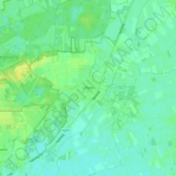
Name: Uffelte topographic map, elevation, terrain.
Location: Uffelte, Westerveld, Drenthe, Nederland (52.76288 6.22693 52.81857 6.31392)
Average elevation: 6 m
Minimum elevation: 0 m
Maximum elevation: 16 m
Other topographic maps
Click on a map to view its topography, its elevation and its terrain.