
Westdorp topographic map
Interactive map
Click on the map to display elevation.
About this map
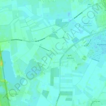
Name: Westdorp topographic map, elevation, terrain.
Location: Westdorp, Borger-Odoorn, Drenthe, Nederland (52.89443 6.72729 52.91751 6.78559)
Average elevation: 15 m
Minimum elevation: 11 m
Maximum elevation: 29 m