
Oosterhesselen topographic map
Interactive map
Click on the map to display elevation.
About this map
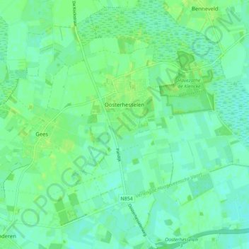
Name: Oosterhesselen topographic map, elevation, terrain.
Location: Oosterhesselen, Coevorden, Drenthe, Nederland (52.72778 6.69196 52.77414 6.77883)
Average elevation: 15 m
Minimum elevation: 10 m
Maximum elevation: 21 m
Other topographic maps
Click on a map to view its topography, its elevation and its terrain.