
Nieuw-Buinen topographic map
Interactive map
Click on the map to display elevation.
About this map
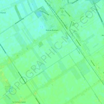
Name: Nieuw-Buinen topographic map, elevation, terrain.
Location: Nieuw-Buinen, Borger-Odoorn, Drenthe, Nederland (52.92347 6.87576 52.98262 6.97986)
Average elevation: 7 m
Minimum elevation: 2 m
Maximum elevation: 12 m