
Mantinge topographic map
Interactive map
Click on the map to display elevation.
About this map
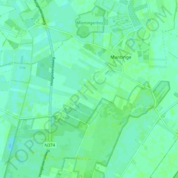
Name: Mantinge topographic map, elevation, terrain.
Location: Mantinge, Midden-Drenthe, Drenthe, Nederland (52.77698 6.57449 52.81346 6.64602)
Average elevation: 16 m
Minimum elevation: 13 m
Maximum elevation: 20 m