
Guindacpan Island topographic map
Interactive map
Click on the map to display elevation.
About this map
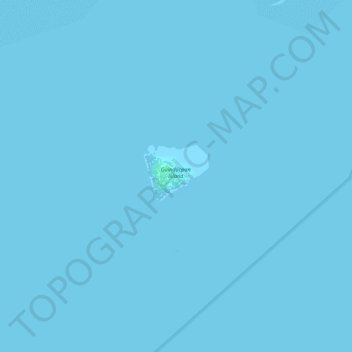
Name: Guindacpan Island topographic map, elevation, terrain.
Location: Guindacpan Island, Bohol, Central Visayas, Philippines (10.22447 124.28037 10.22882 124.28546)
Average elevation: 0 m
Minimum elevation: 0 m
Maximum elevation: 3 m
Other topographic maps
Click on a map to view its topography, its elevation and its terrain.
Bingag
Philippines > Bohol > Dauis
Bingag, Dauis, Bohol, Central Visayas, 6339, Philippines
Average elevation: 19 m
San Augustin
San Augustin, Bohol, Central Visayas, 6331, Philippines
Average elevation: 224 m
Boyo-an
Philippines > Bohol > Candijay
Boyo-an, Candijay, Bohol, Central Visayas, Philippines
Average elevation: 43 m
Tagbilaran
Tagbilaran, Bohol, Central Visayas, 6390, Philippines
Average elevation: 35 m
Panglao
Philippines > Bohol > Panglao
Panglao, Bohol, Central Visayas, 6340, Philippines
Average elevation: 4 m
Pangapasan Island
Philippines > Bohol > Pangapasan Island
Pangapasan Island, Bohol, Central Visayas, Philippines
Average elevation: 0 m
Mocaboc
Philippines > Bohol > Mocaboc
Mocaboc, Bohol, Central Visayas, Philippines
Average elevation: 0 m
Nocnocan Island
Nocnocan Island, Bohol, Central Visayas, Philippines
Average elevation: 0 m
Pandanon
Philippines > Bohol > Pandanon
Pandanon, Bohol, Central Visayas, Philippines
Average elevation: 4 m
Cuaming Island
Philippines > Bohol > Cuaming Island
Cuaming Island, Bohol, Central Visayas, Philippines
Average elevation: 1 m
Calituban Island
Calituban Island, Bohol, Central Visayas, Philippines
Average elevation: 0 m