
Ngozi topographic map
Interactive map
Click on the map to display elevation.
About this map
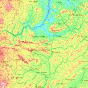
Name: Ngozi topographic map, elevation, terrain.
Location: Ngozi, Burundi (-3.08695 29.63681 -2.65557 30.19311)
Average elevation: 1,619 m
Minimum elevation: 1,356 m
Maximum elevation: 2,215 m
Other topographic maps
Click on a map to view its topography, its elevation and its terrain.