
Rutegama topographic map
Interactive map
Click on the map to display elevation.
About this map
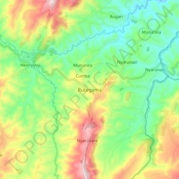
Name: Rutegama topographic map, elevation, terrain.
Location: Rutegama, Muramvya, Burundi (-3.34385 29.70911 -3.26385 29.78911)
Average elevation: 1,698 m
Minimum elevation: 1,527 m
Maximum elevation: 1,973 m