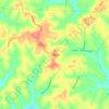
Knox County topographic map
Click on the map to display elevation.
Knox County
According to the U.S. Census Bureau, the county has a total area of 530 square miles (1,400 km2), of which 525 square miles (1,360 km2) is land and 4.1 square miles (11 km2) (0.8%) is water. Approximately 58% of the county is farmland and 28% is forested. Most of the county lies in the Glaciated Allegheny Plateau with rolling hills and valleys. Although the relief is not sharp, some elevations in the county reach over 1400 feet above sea level.
About this map
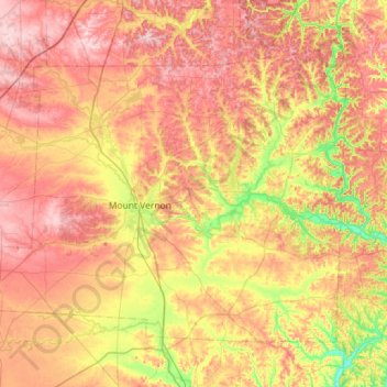
Name: Knox County topographic map, elevation, terrain.
Location: Knox County, Ohio, United States (40.23909 -82.75075 40.57307 -82.17855)
Average elevation: 345 m
Minimum elevation: 239 m
Maximum elevation: 441 m
Other topographic maps
Click on a map to view its topography, its elevation and its terrain.
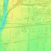
Columbus
United States > Ohio > Franklin County > Columbus
The confluence of the Scioto and Olentangy rivers is just north-west of Downtown Columbus. Several smaller tributaries course through the Columbus metropolitan area, including Alum Creek, Big Walnut Creek, and Darby Creek. Columbus is considered to have relatively flat topography thanks to a large glacier that…
Average elevation: 255 m

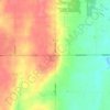
Hopewell
United States > Ohio > Muskingum County
The community is situated on U.S. Route 40, about a half mile north of Interstate 70, and about nine miles west of Zanesville at 39°57'21" north latitude, 82°10'15" west longitude. The ZIP code is 43746; the FIPS place code is 36358; and the elevation 1100 feet above sea level.
Average elevation: 305 m




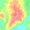


Nature Center at The Summit
United States > Ohio > Hamilton County > Cincinnati
Average elevation: 173 m






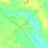
Chippewa Creek Structure VIII-C Dam
United States > Ohio > Medina County > River Styx
Average elevation: 325 m