Geolocate

Venice topographic map

Click on the map to display elevation.

About this map

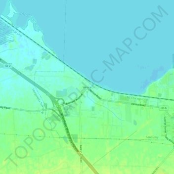
Name: Venice topographic map, elevation, terrain.

Location: Venice, Sandusky, Erie County, Ohio, 44871, United States (41.42589 -82.79046 41.46589 -82.75046)

Average elevation: 176 m

Minimum elevation: 171 m

Maximum elevation: 186 m

Other topographic maps

Click on a map to view its topography, its elevation and its terrain.

Cedar Point Shores

United States > Ohio > Erie County > Sandusky

Average elevation: 173 m

Gear up for your next adventure:

🧥Insulated Jacket - Keep warm in cold outdoor conditions
🥾Trail Running Shoes - Lightweight and durable shoes for trail running
🔦UV Flashlight - Detect minerals or specific insects in the dark
🥫Freeze-Dried Meals - Lightweight, high-calorie nutrition for multi-day treks
🧢Hiking Hat - Sun-protective and breathable hats for long treks

As an Amazon Associate, this site earns from qualifying purchases at no extra cost to you.