Geolocate

Havana topographic map

Click on the map to display elevation.

About this map

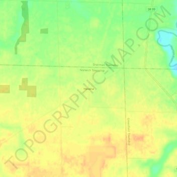
Name: Havana topographic map, elevation, terrain.

Location: Havana, Norwich Township, Huron County, Ohio, United States (41.11728 -82.76713 41.15728 -82.72713)

Average elevation: 253 m

Minimum elevation: 231 m

Maximum elevation: 266 m

Other topographic maps

Click on a map to view its topography, its elevation and its terrain.

Norwalk

United States > Ohio > Huron County

Average elevation: 223 m

Norwalk

United States > Ohio > Huron County

Average elevation: 223 m

Gear up for your next adventure:

🧰Survival Kit - Essential gear for emergencies in the wilderness
🛶Kayak Dry Bag - Waterproof storage for kayaking adventures
🚑Survival Whistle - Signal for help across long distances in mountains
🥾Trail Hiking Boots - Supportive boots for rough trails
🧴Bear Spray Holster - Quick-access carry for essential Canadian wilderness safety

As an Amazon Associate, this site earns from qualifying purchases at no extra cost to you.