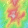
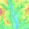
Casserres topographic map
Click on the map to display elevation.
About this map

Name: Casserres topographic map, elevation, terrain.
Location: Casserres, Berguedà, Barcelona, Cataluña, 08693, España (41.97478 1.80009 42.05036 1.88796)
Average elevation: 570 m
Minimum elevation: 397 m
Maximum elevation: 741 m
Other topographic maps
Click on a map to view its topography, its elevation and its terrain.









Pont de Sant Nazari
España > Cataluña > Berguedà > Guardiola de Berguedà > Gréixer
Average elevation: 1,203 m