Geolocate

la Fageda topographic map

Click on the map to display elevation.

About this map

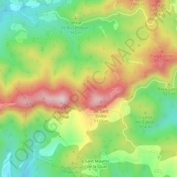
Name: la Fageda topographic map, elevation, terrain.

Location: la Fageda, la Quar, Berguedà, Barcelona, Cataluña, 08517, España (42.08250 1.94942 42.10250 1.96942)

Average elevation: 898 m

Minimum elevation: 727 m

Maximum elevation: 1,111 m

Gear up for your next adventure:

🥾Lightweight Hiking Shoes - Comfortable shoes for day hikes
💡Portable Camping Lamp - Rechargeable lamp for campsite lighting
Camping Tent - Weather-resistant tents suitable for 2 to 6 people
🥾Hiking Boots - Sturdy boots providing ankle support and traction on rugged trails
🛏️Sleeping Bag - Warm and compact sleeping bags for outdoor camping

As an Amazon Associate, this site earns from qualifying purchases at no extra cost to you.