Geolocate

Gargallà topographic map

Click on the map to display elevation.

About this map

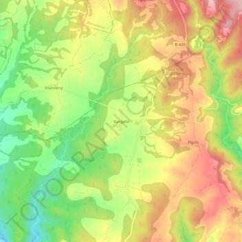
Name: Gargallà topographic map, elevation, terrain.

Location: Gargallà, Montmajor, Berguedà, Barcelona, Cataluña, España (41.95063 1.67969 41.99063 1.71969)

Average elevation: 589 m

Minimum elevation: 469 m

Maximum elevation: 705 m

Gear up for your next adventure:

🥾Hiking Gaiters - Protect legs and shoes from mud, snow, and debris
🥾Trail Running Boots - Durable shoes designed for trail running
🛶Waterproof Dry Bags - Keep electronics and clothes dry during river crossings
🥾Trekking Boots - Durable boots for long-distance trekking
🥾Trail Hiking Boots - Supportive boots for rough trails

As an Amazon Associate, this site earns from qualifying purchases at no extra cost to you.