

Sweden topographic maps
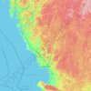
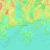
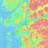
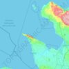
Click on a map to view its topography, its elevation and its terrain.


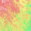
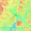
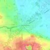
Uppsala
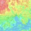
Situated on the fertile Uppsala flatlands of muddy soil, the city features the small Fyris River (Fyrisån) flowing through the landscape surrounded by lush vegetation. Parallel to the river runs the glacial ridge of Uppsalaåsen at an elevation around 30 m (98 ft), the site of Uppsala's castle, from which…
Average elevation: 29 m
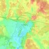
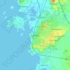







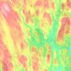
Örebro
During cold winters, Örebro receives plenty of snowfall. Örebro is far more prone than coastal areas to really harsh frosts with temperatures approaching or below −20 °C (−4 °F) happening almost every winter according to SMHI statistics. The station's setting in a rural location might skew temperatures…
Average elevation: 59 m









About this place
Västra Götaland County • Skåne County • Stockholm County • Uppsala County • Östergötland County • Västernorrland County • Jämtland County • Västerbotten County • Halland County • Blekinge County • Norrbotten County • Södermanland County • Dalarna County • Värmland County • Örebro County • Kronoberg County • Västmanland County • Gotland County • Kalmar County