Geolocate

Mörrum topographic map

Click on the map to display elevation.

About this map

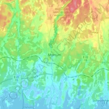
Name: Mörrum topographic map, elevation, terrain.

Location: Mörrum, Karlshamns kommun, Blekinge County, 375 31, Sweden (56.15286 14.71325 56.23286 14.79325)

Average elevation: 24 m

Minimum elevation: -16 m

Maximum elevation: 77 m

Gear up for your next adventure:

💡Solar Camping Lamp - Eco-friendly lighting for campsites
🥾Light Hiking Boots - Lightweight and comfortable boots for day hikes
🥾Light Trekking Boots - Supportive boots for multi-day treks
🥾Mountain Hiking Boots - High-traction boots for rocky terrain
🛁Quick-Dry Microfiber Towel - Space-saving towel that dries rapidly on the move

As an Amazon Associate, this site earns from qualifying purchases at no extra cost to you.