
Bassano topographic map
Interactive map
Click on the map to display elevation.
About this map
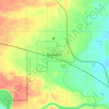
Name: Bassano topographic map, elevation, terrain.
Location: Bassano, Division No. 2, Alberta, T0J 0B0, Canada (50.74786 -112.50588 50.82786 -112.42588)
Average elevation: 798 m
Minimum elevation: 777 m
Maximum elevation: 825 m
Division No. 2 trails, hiking, mountain biking, running and outdoor activities
Other topographic maps
Click on a map to view its topography, its elevation and its terrain.