
Kinbrook Island Provincial Park topographic map
Interactive map
Click on the map to display elevation.
About this map
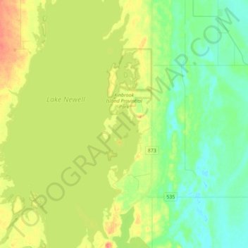
Name: Kinbrook Island Provincial Park topographic map, elevation, terrain.
Average elevation: 763 m
Minimum elevation: 741 m
Maximum elevation: 794 m
Division No. 2 trails, hiking, mountain biking, running and outdoor activities
Other topographic maps
Click on a map to view its topography, its elevation and its terrain.