
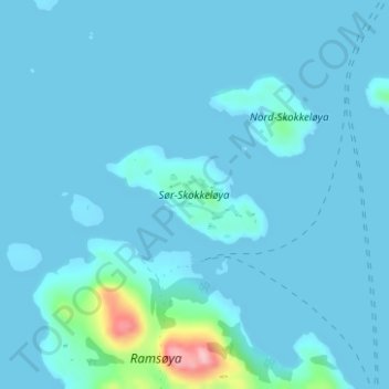
Sør-Skokkeløya topographic map
Interactive map
Click on the map to display elevation.
About this map
Name: Sør-Skokkeløya topographic map, elevation, terrain.
Location: Sør-Skokkeløya, Osen, Trøndelag, Norway (64.34174 10.40201 64.34862 10.42809)
Average elevation: 11 m
Minimum elevation: 0 m
Maximum elevation: 160 m
Other topographic maps
Click on a map to view its topography, its elevation and its terrain.