
Fossgrenda topographic map
Click on the map to display elevation.
About this map
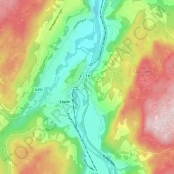
Name: Fossgrenda topographic map, elevation, terrain.
Location: Fossgrenda, Hovin, Melhus, Trøndelag, 7236, Norway (63.08899 10.21538 63.12899 10.25538)
Average elevation: 181 m
Minimum elevation: 16 m
Maximum elevation: 405 m