Geolocate

Lake Louisa topographic map

Click on the map to display elevation.

About this map

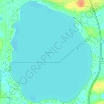
Name: Lake Louisa topographic map, elevation, terrain.

Location: Lake Louisa, Lake County, Florida, United States (28.46064 -81.75715 28.50245 -81.71868)

Average elevation: 31 m

Minimum elevation: 24 m

Maximum elevation: 66 m

Other topographic maps

Click on a map to view its topography, its elevation and its terrain.

Eustis

United States > Florida > Lake County

Average elevation: 28 m

Whitney

United States > Florida > Lake County

Average elevation: 25 m

Royal Highlands

United States > Florida > Lake County

Average elevation: 30 m

Tavares

United States > Florida > Lake County > Tavares

Average elevation: 22 m

Erie Lake

United States > Florida > Lake County

Average elevation: 34 m

Leesburg

United States > Florida > Lake County

Average elevation: 26 m

Gear up for your next adventure:

🔋Emergency Crank Radio - Weather alerts and power without needing batteries
Camping Groundsheet - Protect your tent from moisture and dirt
🪑Ultralight Camping Stool - Compact seating for rest stops during long hikes
🥾Approach Shoes - Shoes designed for climbing approaches and rugged trails
🚲Handlebar Phone Mount - View topographic-map.com live while cycling

As an Amazon Associate, this site earns from qualifying purchases at no extra cost to you.