Geolocate

Grand Island topographic map

Click on the map to display elevation.

About this map

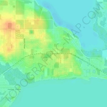
Name: Grand Island topographic map, elevation, terrain.

Location: Grand Island, Lake County, Florida, 32735, United States (28.86249 -81.74897 28.90249 -81.70897)

Average elevation: 25 m

Minimum elevation: 12 m

Maximum elevation: 51 m

Gear up for your next adventure:

🧤Insulated Winter Gloves - Heavy-duty protection for sub-zero Canadian adventures
🥾Waterproof Hiking Boots - Essential footwear for rugged terrain and wet Canadian trails
👟Leg Gaiters - Keep debris, mud, and snow out of your boots
🔪Outdoor Multitool - Versatile tool for repairs and food prep in the wild
🧊Portable Cooler - Keep food and drinks cold during outdoor adventures

As an Amazon Associate, this site earns from qualifying purchases at no extra cost to you.