
One Arrow topographic map
Click on the map to display elevation.
About this map
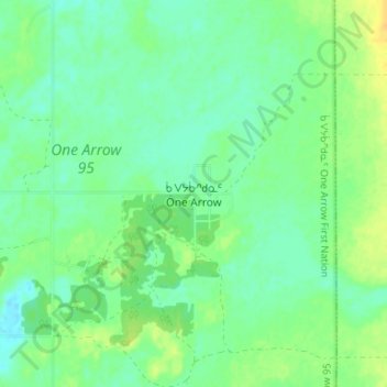
Name: One Arrow topographic map, elevation, terrain.
Location: One Arrow, Division No. 15, Saskatchewan, Canada (52.72245 -106.02438 52.76245 -105.98438)
Average elevation: 485 m
Minimum elevation: 476 m
Maximum elevation: 499 m
Division No. 15 trails, hiking, mountain biking, running and outdoor activities
Other topographic maps
Click on a map to view its topography, its elevation and its terrain.
Jumping Lake
Canada > Saskatchewan > Division No. 15 > Invergordon No. 430 > Waitville
Average elevation: 500 m