
Rosthern topographic map
Click on the map to display elevation.
About this map
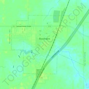
Name: Rosthern topographic map, elevation, terrain.
Location: Rosthern, Division No. 15, Saskatchewan, Canada (52.65320 -106.35199 52.67104 -106.31592)
Average elevation: 509 m
Minimum elevation: 502 m
Maximum elevation: 515 m
Division No. 15 trails, hiking, mountain biking, running and outdoor activities
Other topographic maps
Click on a map to view its topography, its elevation and its terrain.
Jumping Lake
Canada > Saskatchewan > Division No. 15 > Invergordon No. 430 > Waitville
Average elevation: 500 m