
Hepburn topographic map
Click on the map to display elevation.
About this map
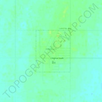
Name: Hepburn topographic map, elevation, terrain.
Location: Hepburn, Division No. 15, Saskatchewan, S0K 1Z0, Canada (52.51847 -106.73878 52.52951 -106.72392)
Average elevation: 543 m
Minimum elevation: 538 m
Maximum elevation: 549 m
Division No. 15 trails, hiking, mountain biking, running and outdoor activities
Other topographic maps
Click on a map to view its topography, its elevation and its terrain.
Jumping Lake
Canada > Saskatchewan > Division No. 15 > Invergordon No. 430 > Waitville
Average elevation: 500 m