
Pilger topographic map
Click on the map to display elevation.
About this map
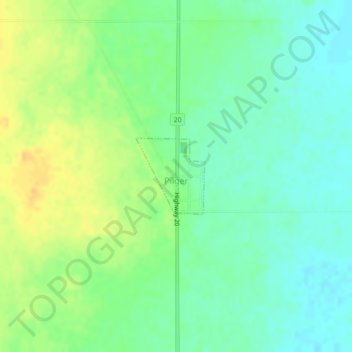
Name: Pilger topographic map, elevation, terrain.
Location: Pilger, Division No. 15, Saskatchewan, Canada (52.41980 -105.27305 52.42565 -105.26440)
Average elevation: 575 m
Minimum elevation: 562 m
Maximum elevation: 592 m
Division No. 15 trails, hiking, mountain biking, running and outdoor activities
Other topographic maps
Click on a map to view its topography, its elevation and its terrain.
Jumping Lake
Canada > Saskatchewan > Division No. 15 > Invergordon No. 430 > Waitville
Average elevation: 500 m