
Prud'Homme topographic map
Click on the map to display elevation.
About this map
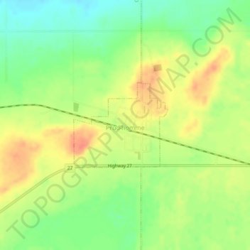
Name: Prud'Homme topographic map, elevation, terrain.
Location: Prud'Homme, Division No. 15, Saskatchewan, Canada (52.33270 -105.90257 52.34188 -105.88589)
Average elevation: 552 m
Minimum elevation: 528 m
Maximum elevation: 574 m
Division No. 15 trails, hiking, mountain biking, running and outdoor activities
Other topographic maps
Click on a map to view its topography, its elevation and its terrain.
Jumping Lake
Canada > Saskatchewan > Division No. 15 > Invergordon No. 430 > Waitville
Average elevation: 500 m