
Meaford topographic map
Click on the map to display elevation.
About this map
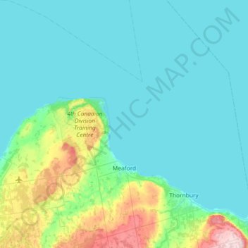
Name: Meaford topographic map, elevation, terrain.
Location: Meaford, Grey County, Ontario, Canada (44.47455 -80.92573 44.88494 -80.50210)
Average elevation: 222 m
Minimum elevation: 173 m
Maximum elevation: 520 m
Grey County trails, hiking, mountain biking, running and outdoor activities
Other topographic maps
Click on a map to view its topography, its elevation and its terrain.