
Vollen topographic map
Interactive map
Click on the map to display elevation.
About this map
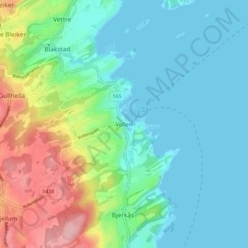
Name: Vollen topographic map, elevation, terrain.
Location: Vollen, Asker, Viken, 1390, Norvège (59.78696 10.46610 59.82696 10.50610)
Average elevation: 43 m
Minimum elevation: -10 m
Maximum elevation: 162 m
Other topographic maps
Click on a map to view its topography, its elevation and its terrain.