
Ribba topographic map
Interactive map
Click on the map to display elevation.
About this map
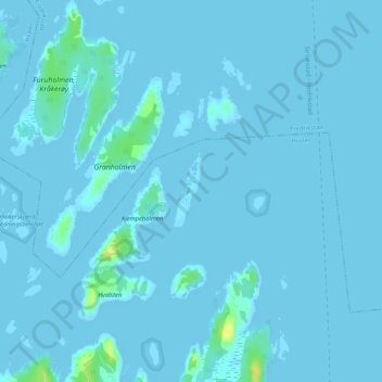
Name: Ribba topographic map, elevation, terrain.
Location: Ribba, Hvaler, Viken, Norvège (59.11355 10.95033 59.11856 10.95440)
Average elevation: 1 m
Minimum elevation: -1 m
Maximum elevation: 20 m
Other topographic maps
Click on a map to view its topography, its elevation and its terrain.