
Lillestrøm topographic map
Interactive map
Click on the map to display elevation.
About this map
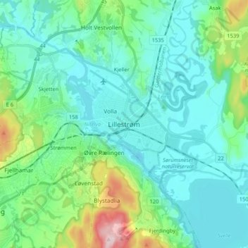
Name: Lillestrøm topographic map, elevation, terrain.
Location: Lillestrøm, Viken, 2003, Norway (59.91592 11.00911 59.99592 11.08911)
Average elevation: 149 m
Minimum elevation: 94 m
Maximum elevation: 384 m
Other topographic maps
Click on a map to view its topography, its elevation and its terrain.