
خان چارباغ topographic map
Interactive map
Click on the map to display elevation.
About this map
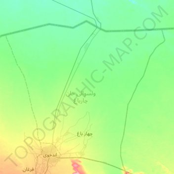
Name: خان چارباغ topographic map, elevation, terrain.
Location: خان چارباغ, Faryab, Afghanistan (36.91440 65.00253 37.29038 65.49066)
Average elevation: 274 m
Minimum elevation: 246 m
Maximum elevation: 377 m
Other topographic maps
Click on a map to view its topography, its elevation and its terrain.
ولسوالی خواجه سبزپوش ولی
ولسوالی خواجه سبزپوش ولی, Faryab, Afghanistan
Average elevation: 900 m
التی بولاق تزکن
Afghanistan > Faryab > ولسوالی قرمقل > التی بولاق تزکن
التی بولاق تزکن, ولسوالی قرمقل, Faryab, Afghanistan
Average elevation: 323 m