
التی بولاق تزکن topographic map
Interactive map
Click on the map to display elevation.
About this map
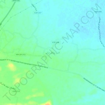
Name: التی بولاق تزکن topographic map, elevation, terrain.
Location: التی بولاق تزکن, ولسوالی قرمقل, Faryab, Afghanistan (36.83495 65.08885 36.87495 65.12885)
Average elevation: 323 m
Minimum elevation: 315 m
Maximum elevation: 342 m